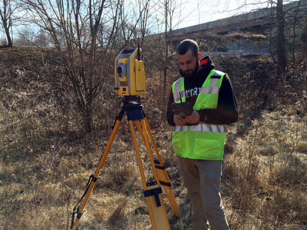
The Wilson T. Ballard Company provides a wide spectrum of Land and Boundary Surveying Services utilizing state-of-the-art total station, GPS and data collector equipment and software for our clients that have included the Maryland State Highway Administration, the Washington Suburban Sanitary Commission, and many County Governments throughout the State of Maryland.
Our Land and Boundary Surveying services include:
- Horizontal and/or vertical control establishment
- Topographic surveys, stream cross sections, and wetlands surveys
- Existing right-of-way and baseline re-establishment
- Metes and bounds property boundary surveys
- Construction Stakeout
- Deeds and plats research
- Deed computations, annotation and mosaic preparation.
- Field data collector file processing
- Digital terrain model (DTM) preparation.
- Computation of existing and proposed rights–of-ways, easements, and property boundaries.
- Right-of-way plat preparation.
- Metes and bounds description preparation
- Expert witness testimony
The Wilson T. Ballard Company supports and encourages its survey personnel to advance their career in the profession of land surveying through educational opportunities, webinars, and hands on experience while working in both the field and office, with the ultimate goal of professional licensure.